Overview Hoyer Campground is situated among the ponderosa pine forests of eastern Arizona, and is one of the most popular campgrounds in the area for families and seniors. Is is less than a mile from Greer Lakes in the middle of the Apache National Forest. Hiking and fishing are especially popular.Recreation Greer Lake…
Overview Hoyer Campground is situated among the ponderosa pine forests of eastern Arizona, and is one of the most popular campgrounds in the area for families and seniors. Is is less than a mile from Greer Lakes in the middle of the Apache National Forest. Hiking and fishing are especially popular.Recreation Greer Lakes and the Little Colorado River are within walking distance for avid anglers seeking out rainbow, cutthroat, brook and brown trout. Hikers can check out several trails within a short drive. Those wishing to relax on a scenic drive can explore the White Mountain and Coronado Trail Scenic Byways. Curious campers can take part in guided nature walks around the lake or attend educational programs at the facility's amphitheater on Saturday evenings during the summer. Facilities This large facility contains nearly 100 campsites. Sites are shaded and lie on a bed of pine needles or grass. Roads are gravel. The shower facilities and dump station are open. Campers can also purchase bundled firewood and ice from the on-site campground host. Natural Features The campground sits in a heavily forested pine and aspen forest at an elevation of 8,300 feet in the scenic and remote White Mountains. Chipmunks and Abert's squirrels are common campground residents, and mule deer and elk inhabit the area as well. The nearby reservoir is one of three area lakes on the Little Colorado River. Summer temperatures can be very pleasant because of the elevation. However, the rainy season often brings afternoon thunderstorms from late June through August. Visitors should come prepared for rain and cool nighttime temperatures. Contact Info For facility specific information, please call (928) 537-8888. Nearby Attractions The closest towns are Greer and Springerville, Arizona. Campers can find gas, groceries, restaurants and equipment rentals in Greer. Visitors can explore endless vistas and take part in many outdoor activities in the surrounding Apache-Sitgreaves National Forest, whi
Photos
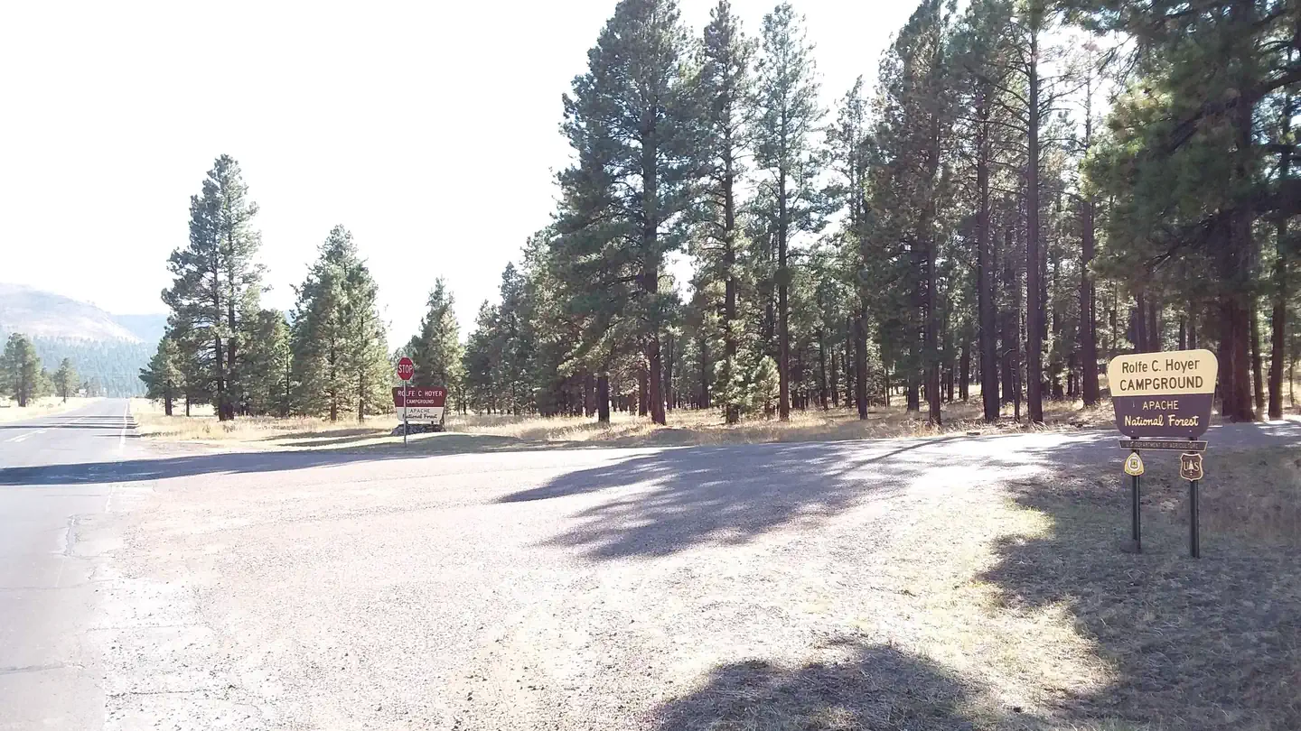
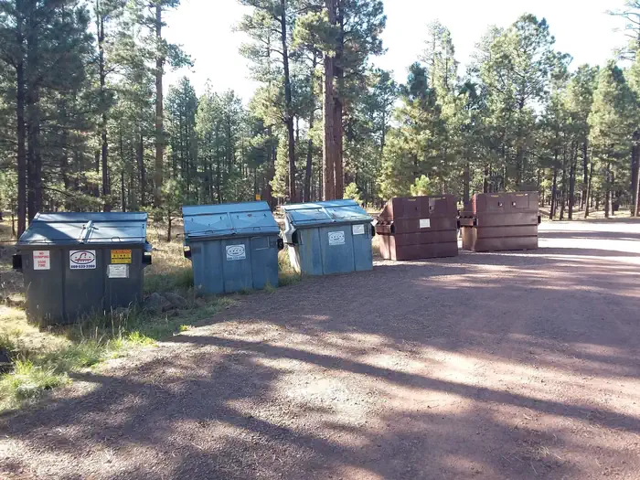
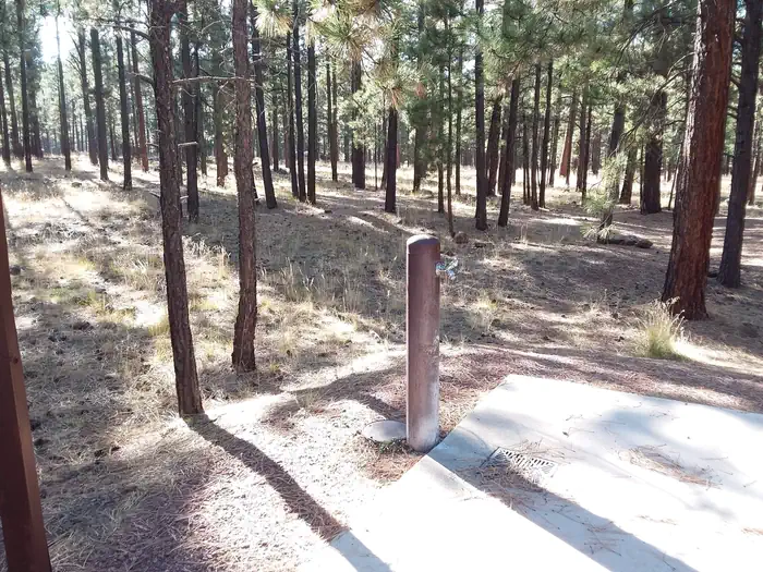
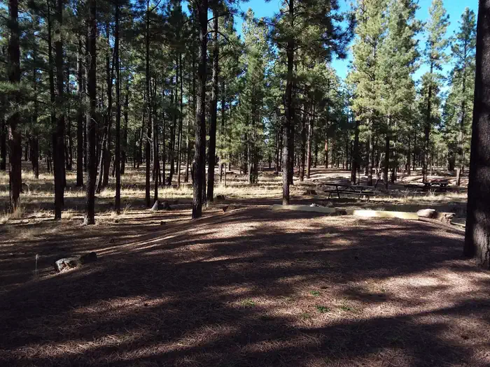
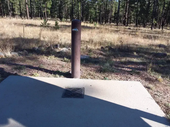
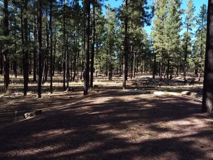
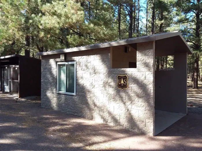
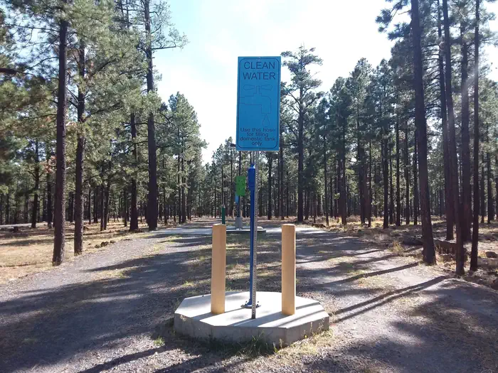
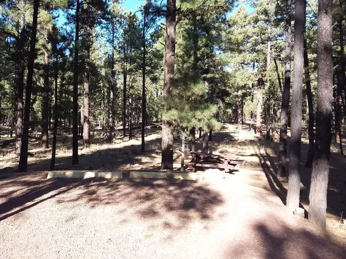
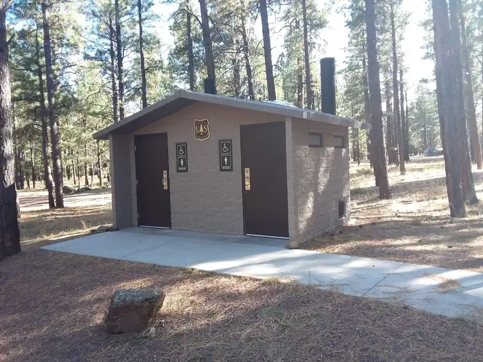
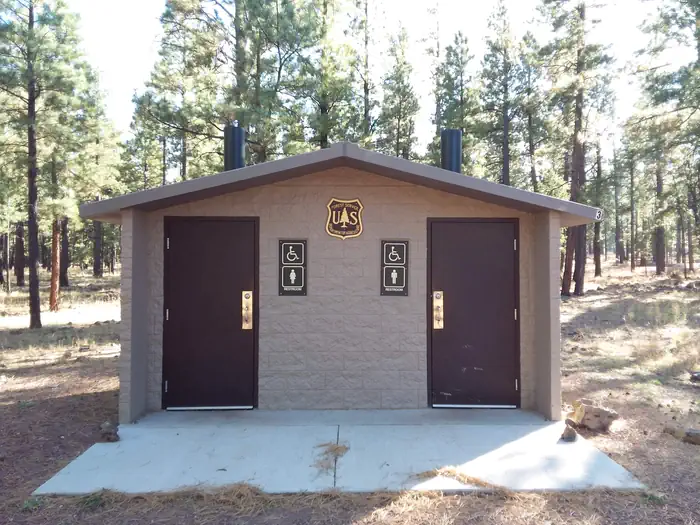
HOYER Trash Collection — Conservation LegacyHOYER Grouse Loop Water Spout — Conservation LegacyHOYER Campground Shaded Standard Site — Conservation LegacyHOYER Bear Loop Water Spout — Conservation LegacyHOYER Campground — Conservation LegacyHOYER Management Building — Conservation LegacyHOYER "Clean Water" Domestic Tank sign — Conservation LegacyHOYER Campground Standard Site — Conservation LegacyHOYER Turkey Loop Restrooms — Conservation LegacyHOYER Beaver Loop Restrooms — Conservation Legacy
How to Get There
From Show Low, Arizona, take Highway 260 southeast 42 miles to Highway 373. Take Highway 373 south 3 miles to the campground, which is on the right.
Download your route in advance via Gaia, Caltopo, or OSM-based apps.
Recommendations adapt to the current forecast + trail stats. Use them as a starting point — local conditions, your experience, and the time of day you start all matter.
Plan Your Visit to HOYER
Heading to HOYER? A few things to know before you go:
Reservations: popular sites fill up fast — check Recreation.gov 6 months in advance
Fees: day-use and camping fees vary; check current rates on the official park page
Trash & pack-out: follow Leave No Trace principles
Wildlife: store food in bear boxes where provided; never feed wildlife
Weather: the 5-day forecast above is updated every 6 hours; verify just before you go
Frequently Asked Questions
Do I need a reservation for HOYER?
No central reservation system listed for HOYER. Check the official page (https://www.recreation.gov/camping/campgrounds/232197) for the latest entry policy and availability.
How do I get to HOYER?
From Show Low, Arizona, take Highway 260 southeast 42 miles to Highway 373. Take Highway 373 south 3 miles to the campground, which is on the right.
How do I contact HOYER?
You can reach the park at phone: 928-735-7313 or email: [email protected].