Mormon Lake, Arizona · Coconino County · Campground
Overview Pinegrove Campground sits in the lush Coconino National Forest of northern Arizona, offering visitors countless recreation opportunities set in a stunning landscape.Recreation Nearby Upper and Lower Lake Mary, Ashurst, Marshall and Kinnikinick Lakes serve as a recreational focus for this campground. All are st…
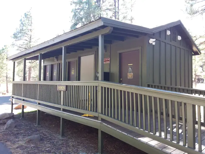
Overview Pinegrove Campground sits in the lush Coconino National Forest of northern Arizona, offering visitors countless recreation opportunities set in a stunning landscape.Recreation Nearby Upper and Lower Lake Mary, Ashurst, Marshall and Kinnikinick Lakes serve as a recreational focus for this campground. All are stocked with fish including trout, bass and channel catfish. Upper Lake Mary is popular with power boaters, and Ashurst attracts a following of windsurfers along with anglers and boaters. Several excellent hiking and biking trails are located within a short drive. Visitors also enjoy wildlife viewing and picnicking.Facilities The campground is comprised of 46 spacious individual sites. The facility provides coin-operated showers, picnic tables, campfire rings, cooking grills, drinking water and accessible flush toilets. There are boat ramps at the lakes, as well as accessible fishing access at Lake Mary Narrows.Natural Features Coconino National Forest's 1.8 million acres offer clear lakes, red rock cliffs, desert basins and canopies of pine trees. The lakes around these forested campgrounds are used as a stopover for migrating waterfowl, a wintering site for rare bald eagles and a feeding ground for resident ospreys. The area is also home to a considerable number of elk and mule deer. Nearby Attractions The nearest town is Flagstaff, Arizona, about 20 miles away. Camping supplies, groceries, gas, restaurants, shopping and more are available. Contact Info For facility specific information, please call (928) 774-9671.
Photos
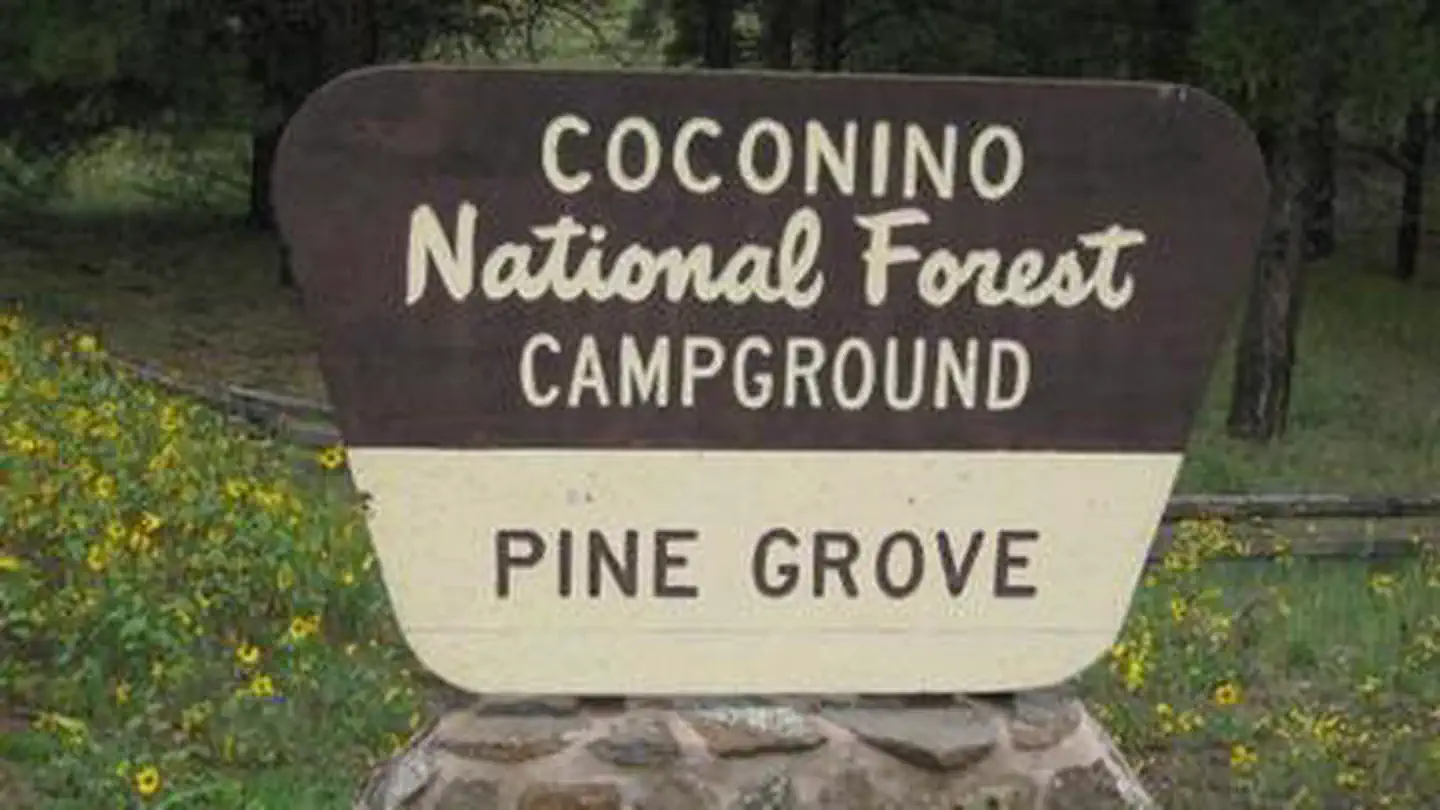
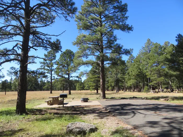
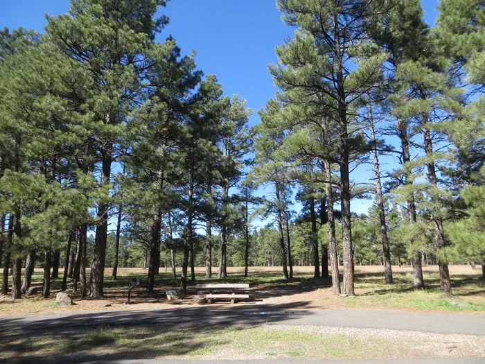
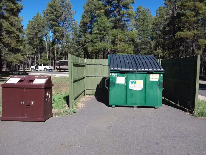
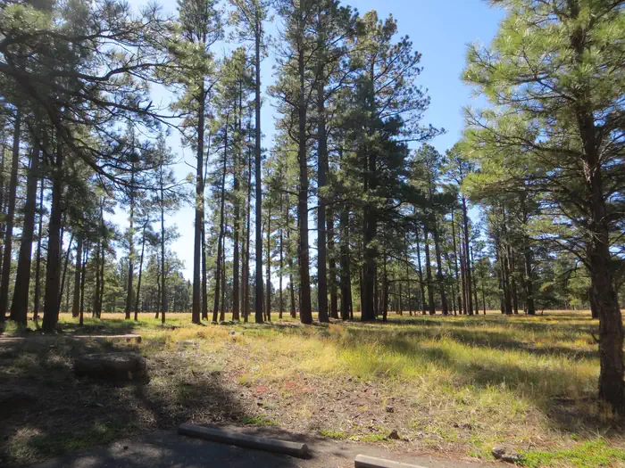
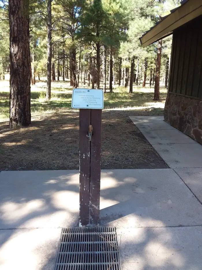
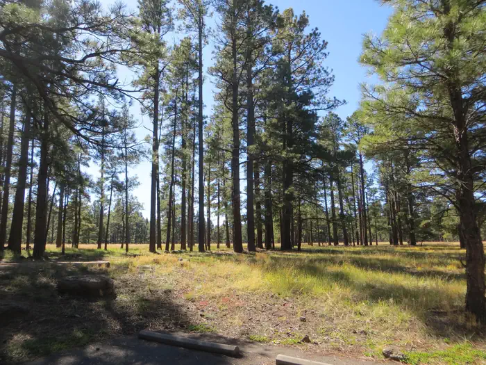
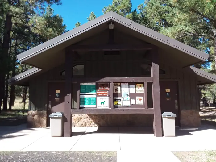
Pinegrove Campground Standard Site — RRMPinegrove Camping Site — RRMPinegrove Campground Trash Collection — Conservation LegacyPinegrove Campground — RRMPinegrove Campground Showers — Conservation LegacyPinegrove Campground Water Spigot — Conservation LegacyPinegrove Campground — RRMPinegrove Campground Paved Path — RRMPinegrove Campground Restrooms and Information Board — Conservation LegacyPinegrove Campground Restrooms — RRM
How to Get There
From Flagstaff, Arizona, go southeast on Lake Mary Road/Forest Highway 3. Travel on Lake Mary Road for 19 miles. Access to the campground is via a short spur off of Lake Mary Road.
Download your route in advance via Gaia, Caltopo, or OSM-based apps.
Recommendations adapt to the current forecast + trail stats. Use them as a starting point — local conditions, your experience, and the time of day you start all matter.
Plan Your Visit to PINEGROVE
Heading to PINEGROVE? A few things to know before you go:
Reservations: popular sites fill up fast — check Recreation.gov 6 months in advance
Fees: day-use and camping fees vary; check current rates on the official park page
Trash & pack-out: follow Leave No Trace principles
Wildlife: store food in bear boxes where provided; never feed wildlife
Weather: the 5-day forecast above is updated every 6 hours; verify just before you go
Frequently Asked Questions
Do I need a reservation for PINEGROVE?
No central reservation system listed for PINEGROVE. Check the official page (https://www.recreation.gov/camping/campgrounds/232147) for the latest entry policy and availability.
How do I get to PINEGROVE?
From Flagstaff, Arizona, go southeast on Lake Mary Road/Forest Highway 3. Travel on Lake Mary Road for 19 miles. Access to the campground is via a short spur off of Lake Mary Road.