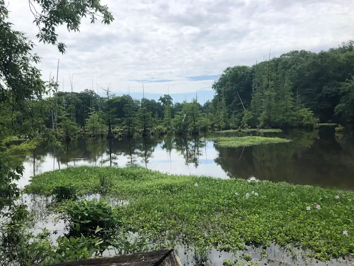
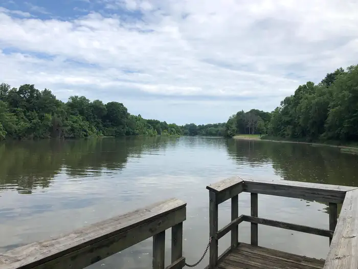
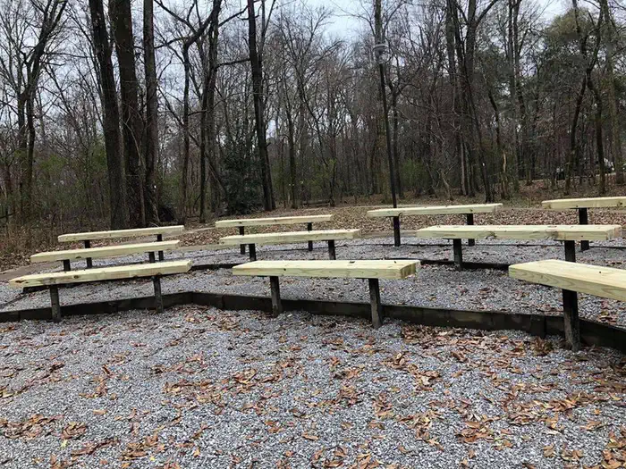
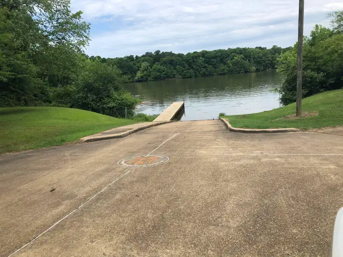
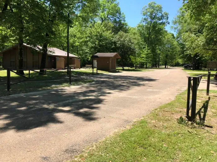
Overview Dewayne Hayes Campground is located on the Tennessee-Tombigbee Waterway, on Columbus Lake in Mississippi. The campground provides convenient access to the waterway. There is ample opportunity for visitors to fish, boat or spend the day sightseeing along the banks of the river. The recreation area was named in …
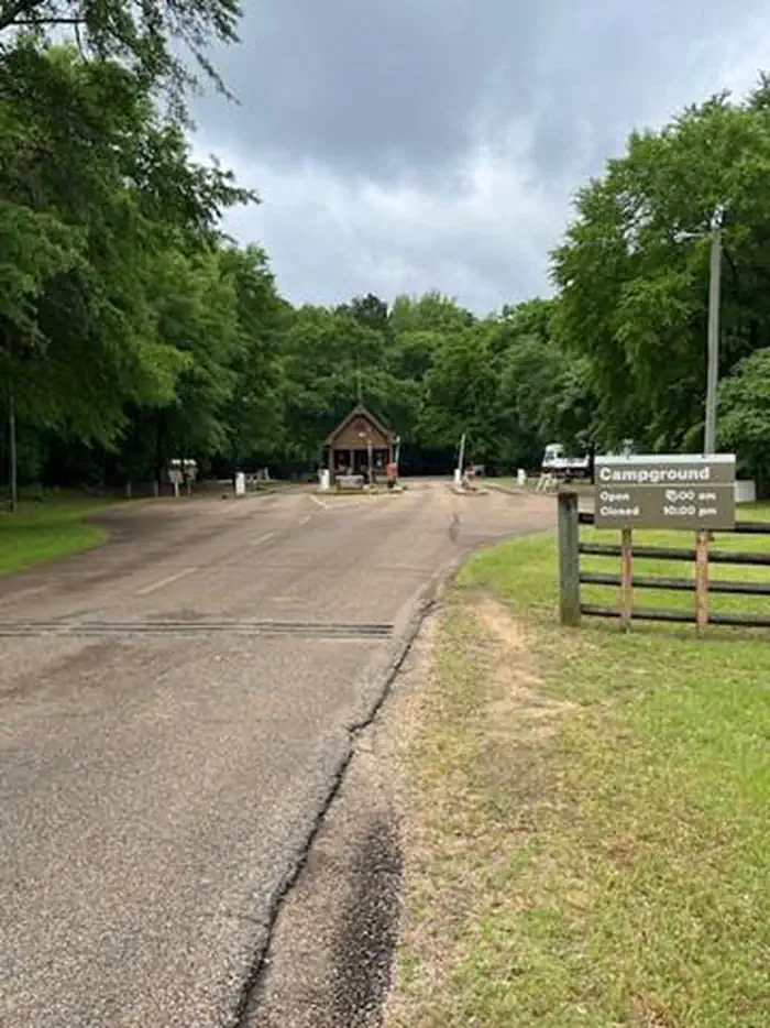
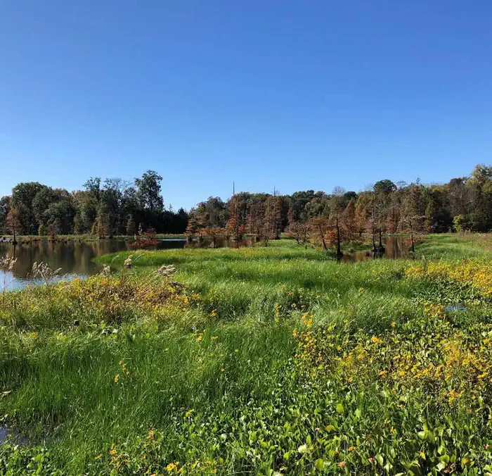
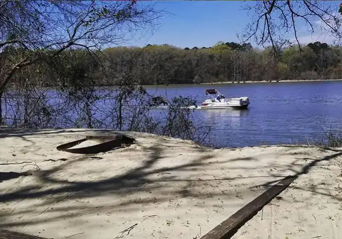
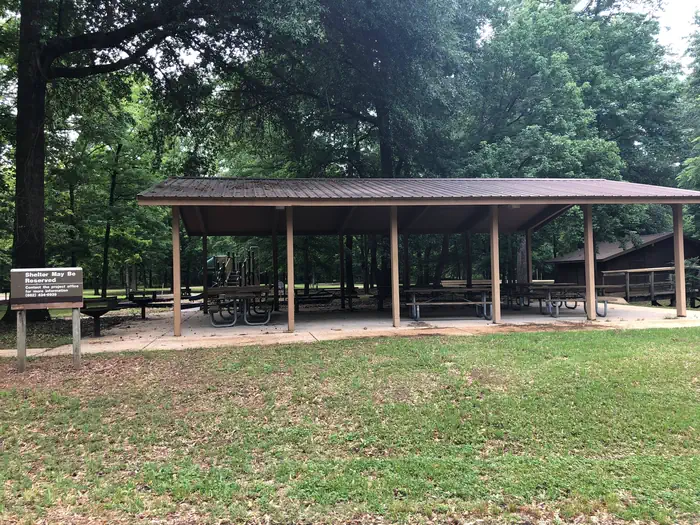
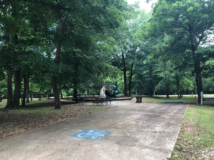
Overview Dewayne Hayes Campground is located on the Tennessee-Tombigbee Waterway, on Columbus Lake in Mississippi. The campground provides convenient access to the waterway. There is ample opportunity for visitors to fish, boat or spend the day sightseeing along the banks of the river. The recreation area was named in 1986 for Pfc. Loyd DeWayne Hayes, a member of the 145th Engineering Battalion of the Alabama National Guard.Recreation With playgrounds, hiking trails, multi-use courts, picnic areas and educational programs, families have no shortage of activities to choose from at DeWayne Hayes. Anglers can fish from the shore in search of bass, walleye, crappie, catfish and sunfish. Additionally, hunters can seek out a diverse range of high quality habitats for upland game and waterfowl species along the Tenn-Tom lands.Facilities Dewayne Hayes Campground features 110 campsites, including 100 standard sites with electric and water hookups and 10 tent-only primitive walk-in sites. The campground is partially shaded, and sites have picnic tables, fire rings with grills, pedestal grills and lantern posts. Visitors have the convenience of hot showers, and anglers can make use of the fish cleaning station. Natural Features The Tenn-Tom, as the waterway is known, extends 234 miles from the Tennessee River to the junction of the Tombigbee River in Alabama. The man-made waterway connects the nation's midsection of commercial water transportation with the Gulf of Mexico. Nearby Attractions Columbus, Mississippi is right next door and offers antique stores, historic sights and other services and amenities.
From Columbus, Mississippi, take U.S. Highway 45 north to the junction with U.S. Highway 373/50 west. Turn left and continue for 1.5 miles to the junction with Stinson Creek Road. Travel 2 miles to Barton's Ferry Road and turn left. Proceed a half mile to the park entrance.
Download your route in advance via Gaia, Caltopo, or OSM-based apps.
🛍
Dry bags for electronics
Phone, camera, and snacks should stay dry.
Recommendations adapt to the current forecast + trail stats. Use them as a starting point — local conditions, your experience, and the time of day you start all matter.
Plan Your Visit to DEWAYNE HAYES
Heading to DEWAYNE HAYES? A few things to know before you go:
Reservations: popular sites fill up fast — check Recreation.gov 6 months in advance
Fees: day-use and camping fees vary; check current rates on the official park page
Trash & pack-out: follow Leave No Trace principles
Wildlife: store food in bear boxes where provided; never feed wildlife
Weather: the 5-day forecast above is updated every 6 hours; verify just before you go
Frequently Asked Questions
Do I need a reservation for DEWAYNE HAYES?
No central reservation system listed for DEWAYNE HAYES. Check the official page (https://www.recreation.gov/camping/campgrounds/232574) for the latest entry policy and availability.
How many campsites are at DEWAYNE HAYES?
DEWAYNE HAYES has 100 campsites. Site amenities (hookups, vehicle limits, ADA access) vary — see the individual campsite pages for details.
How do I get to DEWAYNE HAYES?
From Columbus, Mississippi, take U.S. Highway 45 north to the junction with U.S. Highway 373/50 west. Turn left and continue for 1.5 miles to the junction with Stinson Creek Road. Travel 2 miles to Barton's Ferry Road and turn left. Proceed a half mile to the park entrance.