About JENNINGS FERRY
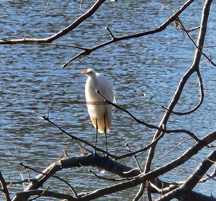
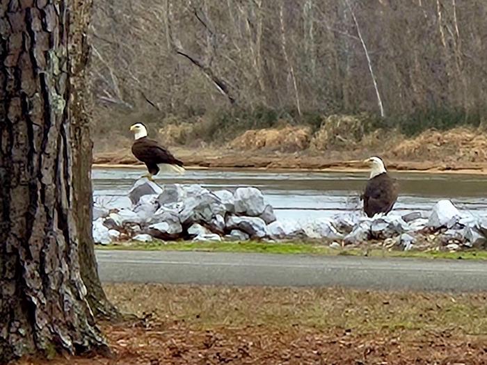
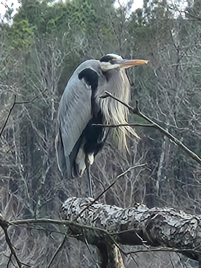
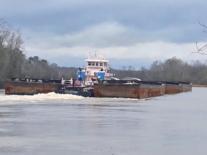
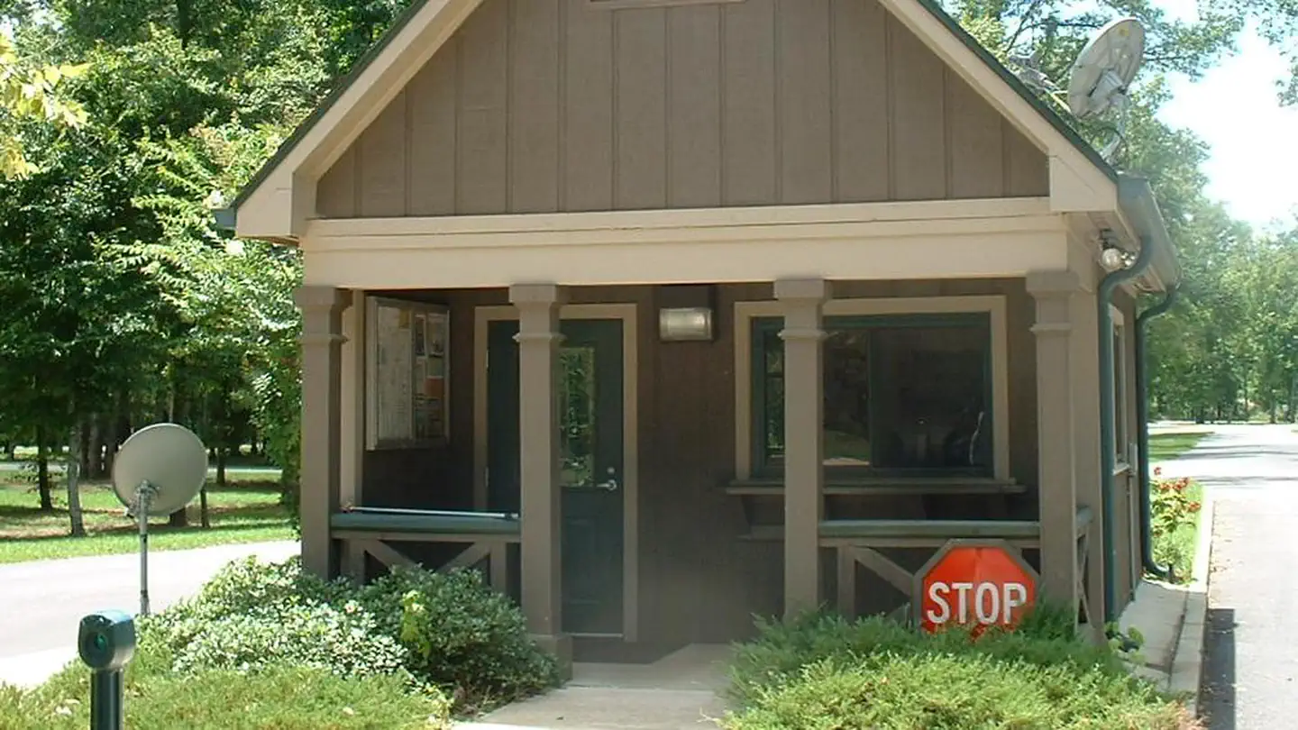
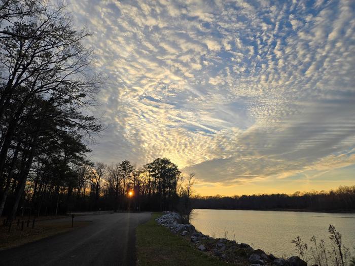
Overview Jennings Ferry Campground is situated between the Black Warrior River and Clear Creek on the Black Warrior-Tombigbee Waterway in Alabama. With a boat ramp and gently sloping shoreline, this facility offers a quiet and convenient getaway for fishing.Recreation Fishing is the most popular activity on the waterway. Whether fishing by boat or along the shore of the park, anglers can fish for bass, crappie, bream, catfish and other species. Visitors can also enjoy walking along a half-mile nature trail that runs through the woods following the water's edge.Facilities Jennings Ferry has 52 campsites with 50-amp electrical and water hookups and picnic areas.Campsites are spacious, private and located near or close to the water. A shower and restroom building, as well as a playground and a boat ramp with security lighting that are provided for camper convenience. Natural Features The campground is surrounded by the scenic woodlands of the Tombigbee River. Deer, squirrel, wild turkey, migratory birds and blue birds live among the calm waters and hardwood forests of the area. Temerature range from the 80s to 90s from April to September, and annual rainfall averages about 60 inches. The facility is located 100 feet above sea level. Contact Info For facility specific information, please call (334) 402-1606.Charges & Cancellations USACE Reserves the right to modify/cancel reservations due to site closures.
How to Get There
From Demopolis, Alabama, take Highway 43 north towards Eutaw. At Highway 14, take a right. Proceed for approximately seven miles to the park.
Driving directions (Google Maps) →What to Pack for Your Stay
Tuned to the live forecast for this park.
👔 What to Wear
- 👕
Long-sleeve shirt
Synthetic or merino, sun-protective.
- 🧥
Light shell or windbreaker
Even on warm days, wind can chill (avg wind 0 mph).
- 👖
Hiking pants or convertible
Layer for variable conditions.
- 🥾
Trail runners or low boots
Comfortable, broken in.
🎒 What to Pack
- 💧
Water
Bring at least 1L of water; more in heat.
- 🍫
High-energy snacks
A snack for the trail.
- 🧴
Sun protection
Sunscreen, sunglasses, brimmed hat.
- 🩹
First-aid kit
Blister patches, ibuprofen, tape, antiseptic wipes.
- 🗺
Offline map
Download your route in advance via Gaia, Caltopo, or OSM-based apps.
Recommendations adapt to the current forecast + trail stats. Use them as a starting point — local conditions, your experience, and the time of day you start all matter.
Plan Your Visit to JENNINGS FERRY
Heading to JENNINGS FERRY? A few things to know before you go:
- Reservations: popular sites fill up fast — check Recreation.gov 6 months in advance
- Fees: day-use and camping fees vary; check current rates on the official park page
- Trash & pack-out: follow Leave No Trace principles
- Wildlife: store food in bear boxes where provided; never feed wildlife
- Weather: the 5-day forecast above is updated every 6 hours; verify just before you go
Frequently Asked Questions
Do I need a reservation for JENNINGS FERRY?
No central reservation system listed for JENNINGS FERRY. Check the official page (https://www.recreation.gov/camping/campgrounds/234478) for the latest entry policy and availability.
How do I get to JENNINGS FERRY?
From Demopolis, Alabama, take Highway 43 north towards Eutaw. At Highway 14, take a right. Proceed for approximately seven miles to the park.
How do I contact JENNINGS FERRY?
You can reach the park at phone: 205-372-1217.
References & Official Resources