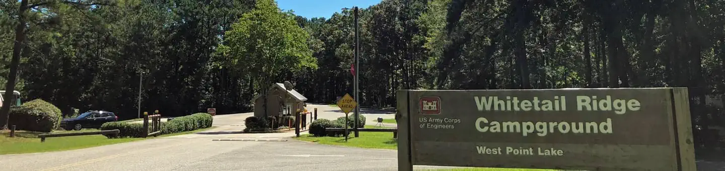
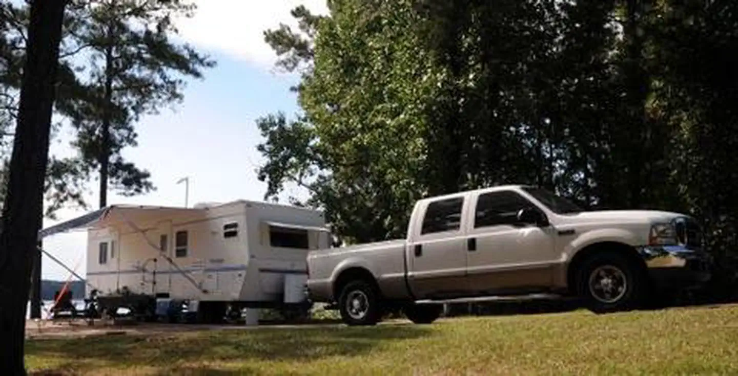
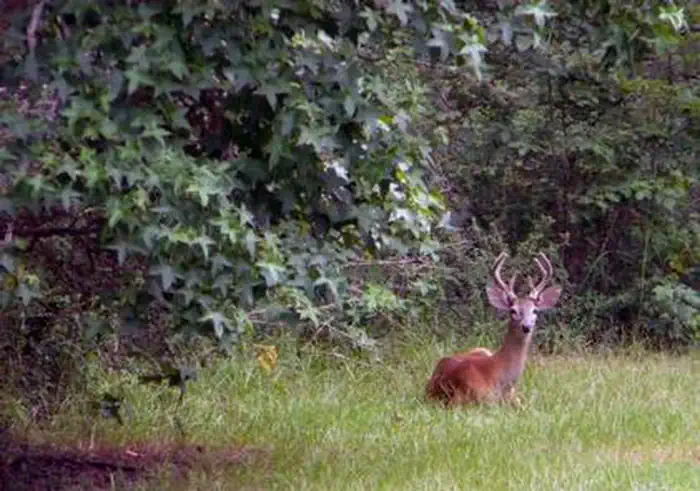
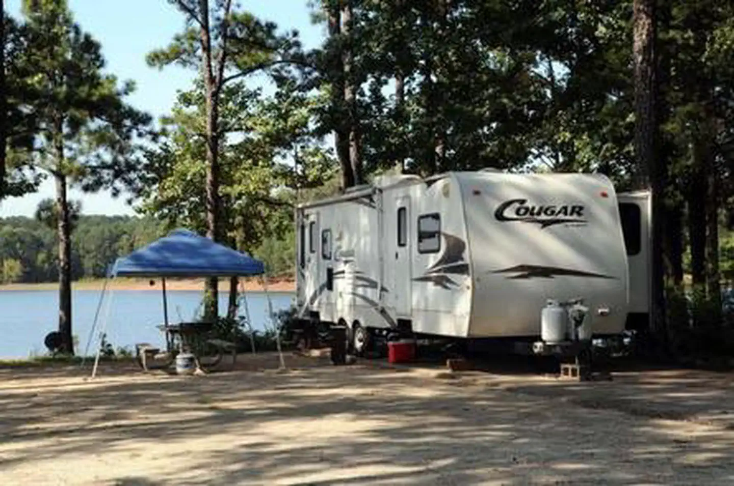
Overview Whitetail Ridge Campground is a waterfront facility on the western shore of West Point Lake, which spans parts of Alabama and Georgia. This man-made lake has 525 miles of shoreline that provide excellent opportunities for fishing, camping, boating and other recreational activities.Recreation Whether sailing or…
Overview Whitetail Ridge Campground is a waterfront facility on the western shore of West Point Lake, which spans parts of Alabama and Georgia. This man-made lake has 525 miles of shoreline that provide excellent opportunities for fishing, camping, boating and other recreational activities.Recreation Whether sailing or power boating, West Point Lake is a boater's paradise. There are boat ramps in 34 public recreation areas around the lake, including Amity, as well as two privately owned full-service marinas. Fishing is one of the most popular activities on the lake. A dozen creeks and more than 40 square miles of lake provide plenty of good fishing spots for the thousands of anglers who fish here regularly. The lake abounds with bass, catfish, crappie and bream. Bank fishing is excellent at many locations, including public fishing piers at Hardley Creek, Rocky Point and McGee Bridge parks. Several trails wind along the lake and through the landscape, including the Lakeside Trail, which is perfect for mountain biking. A wildlife management area of nearly 10,000 acres, located at the upper end of the lake, provides habitat for many types of wildlife. This area offers excellent hunting opportunities.Facilities The Whitetail Ridge Campground offers 58 sites with electric and water hookups. Additional amenities include a dump station, laundry facilities and hot showers.Natural Features Surrounded by rolling fields and deep forests that display outstanding fall foliage, West Point Lake extends 35 miles along the Chattahoochee River on the Alabama-Georgia state line. The campground is forested and sits on the shore overlooking the 25,900-acre lake. Nearby Attractions The lake offers 21 day-use parks. While many people visit the lake to boat and camp, the parks offer a variety of other recreation facilities including tennis courts, ball fields, basketball courts, fishing piers with fish attractors, hiking trails and picnic shelters for individuals or large groups.Charges &
Photos
WHITETAIL RIDGEWHITETAIL RIDGEWHITETAIL RIDGE
How to Get There
From Lagrange, Georgia, travel west on State Route 109 for about 7 miles. After crossing the first bridge across the lake, travel approximately one more mile, then turn left onto Thompson Road. After a mile, bear left and watch for the sign.
Download your route in advance via Gaia, Caltopo, or OSM-based apps.
🛍
Dry bags for electronics
Phone, camera, and snacks should stay dry.
Recommendations adapt to the current forecast + trail stats. Use them as a starting point — local conditions, your experience, and the time of day you start all matter.
Plan Your Visit to WHITETAIL RIDGE
Heading to WHITETAIL RIDGE? A few things to know before you go:
Reservations: popular sites fill up fast — check Recreation.gov 6 months in advance
Fees: day-use and camping fees vary; check current rates on the official park page
Trash & pack-out: follow Leave No Trace principles
Wildlife: store food in bear boxes where provided; never feed wildlife
Weather: the 5-day forecast above is updated every 6 hours; verify just before you go
Frequently Asked Questions
Do I need a reservation for WHITETAIL RIDGE?
No central reservation system listed for WHITETAIL RIDGE. Check the official page (https://www.recreation.gov/camping/campgrounds/232742) for the latest entry policy and availability.
How many campsites are at WHITETAIL RIDGE?
WHITETAIL RIDGE has 58 campsites. Site amenities (hookups, vehicle limits, ADA access) vary — see the individual campsite pages for details.
How do I get to WHITETAIL RIDGE?
From Lagrange, Georgia, travel west on State Route 109 for about 7 miles. After crossing the first bridge across the lake, travel approximately one more mile, then turn left onto Thompson Road. After a mile, bear left and watch for the sign.