Coffeeville, Alabama · Choctaw County · Campground
Overview Service Campground is situated along the high banks of Coffeeville Lake, the third largest lake on the Black Warrior-Tombigbee Waterway in Alabama. With a surface area of 8,800 acres and a length of 97 miles, the area provides excellent opportunities for camping, fishing and boating.Recreation Fishing is the m…
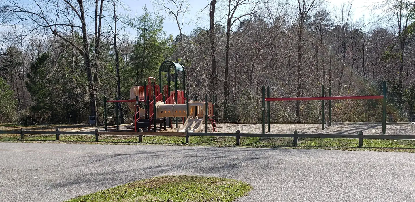
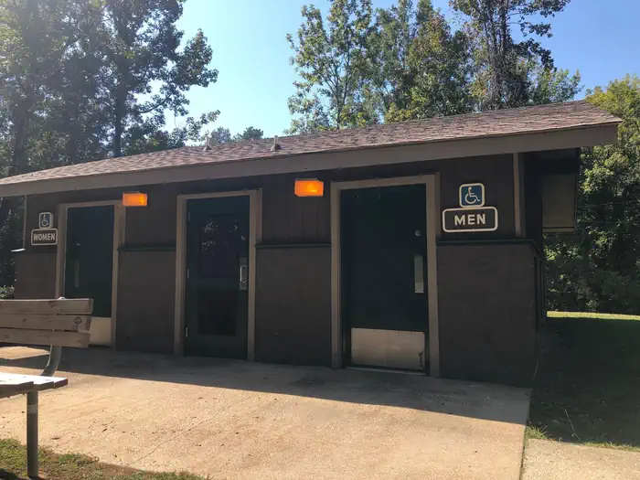
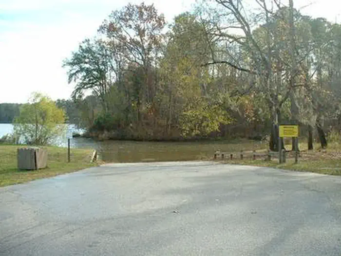
Overview Service Campground is situated along the high banks of Coffeeville Lake, the third largest lake on the Black Warrior-Tombigbee Waterway in Alabama. With a surface area of 8,800 acres and a length of 97 miles, the area provides excellent opportunities for camping, fishing and boating.Recreation Fishing is the most popular activity on the waterway. Whether fishing on or off shore, anglers can fish for bass, crappie, bream, catfish and other species. Visitors have the convenience of a boat ramp, and children can make use of the facility's playground. Campers can also sit back and enjoy the peaceful, scenic shoreline.Facilities Service Park offers 32 campsites, including two tent-only sites, all with 50-amp electric and water hookups, picnic table, lantern holder and campfire ring with grill. Campsites are spacious, private and located near or close to the water. The facility also provides a bathouse with hot showers and other comforts of home. Natural Features A mixed pine and hardwood forest lines the lakeshore. The campground is surrounded by dense conifer stands and rolling meadows that feature colorful wildflower displays. Wood ducks, bald eagles and many other species of wildlife inhabit the lake area. Black Warrior-Tombigbee Waterway consists of six lakes with a total length of 457 miles and 39,800 surface acres of water. Contact Info For facility specific information, please call (334) 402-1605.
Photos
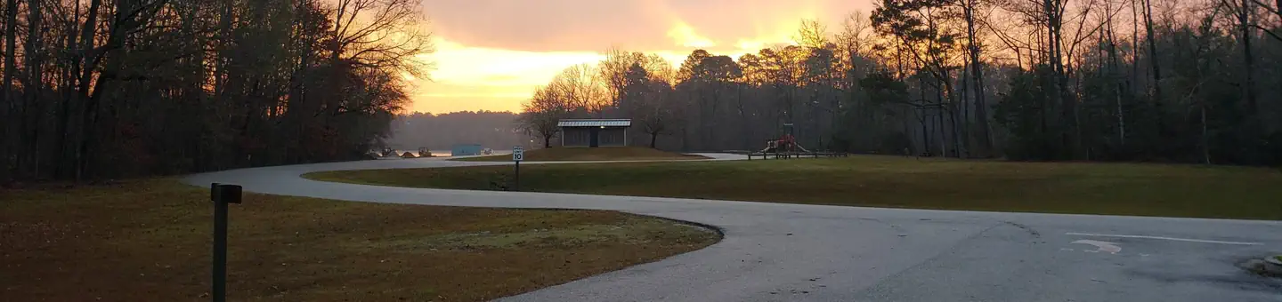
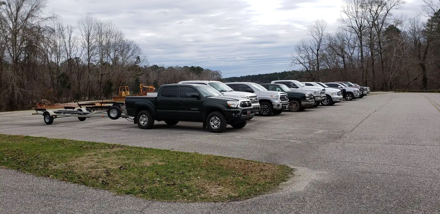
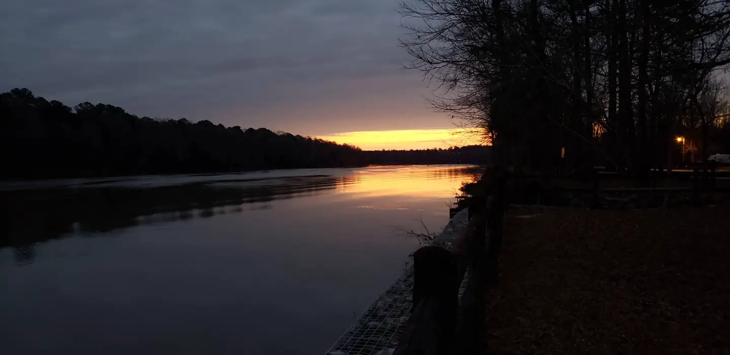
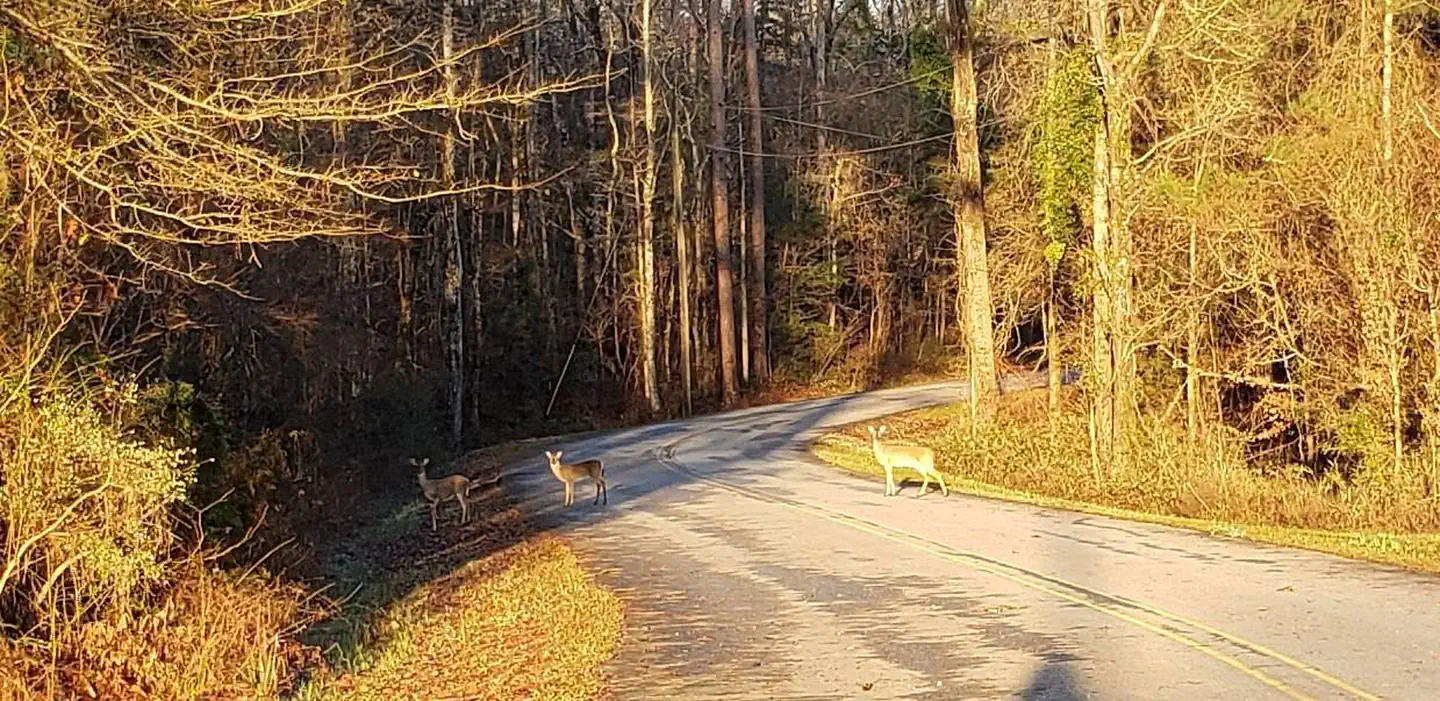
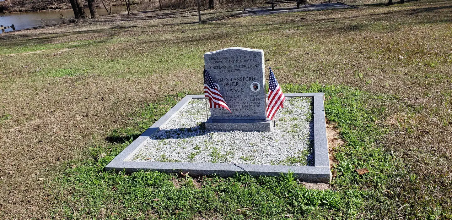
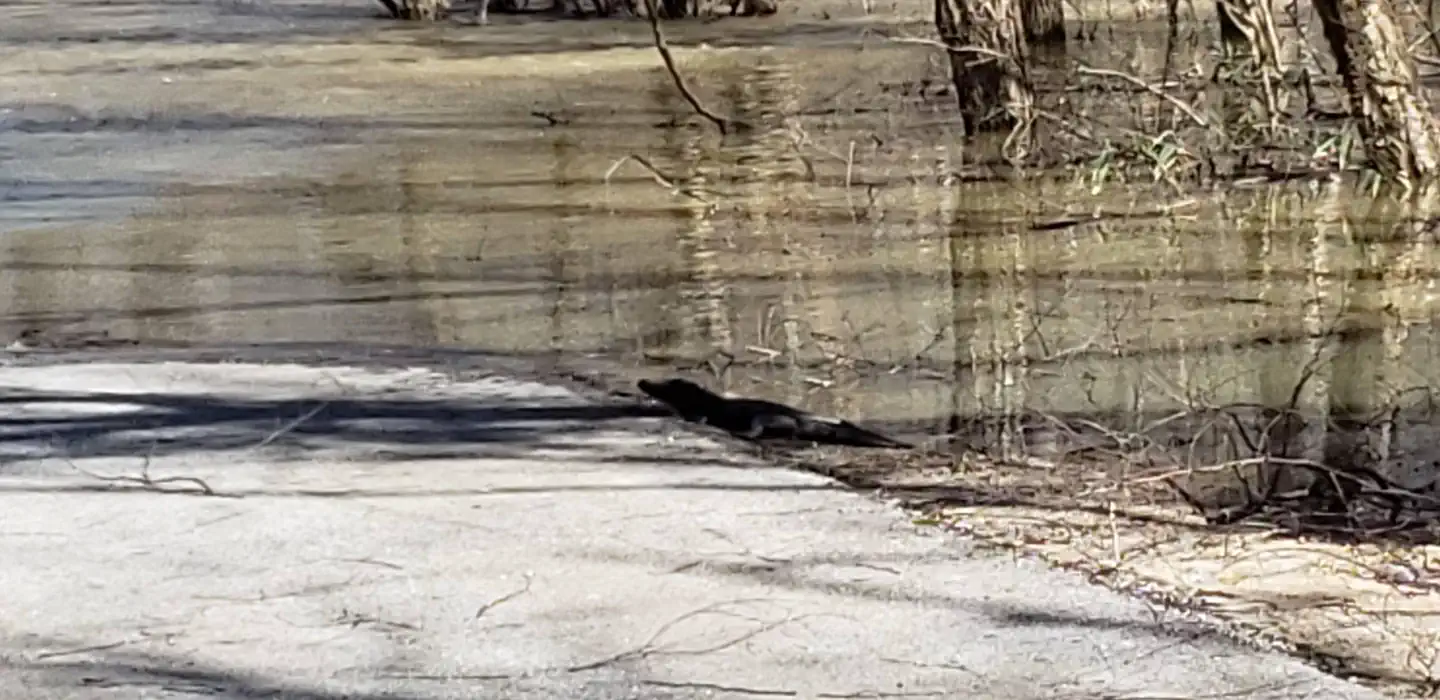
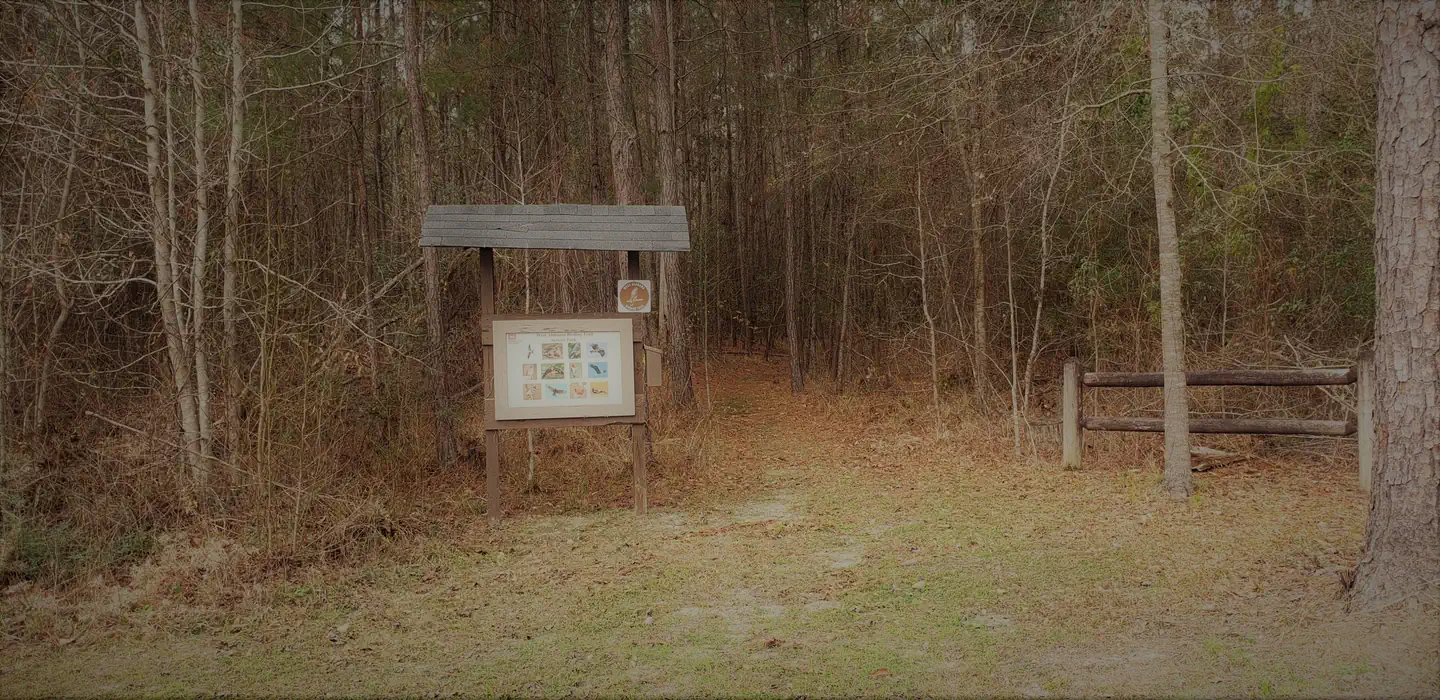
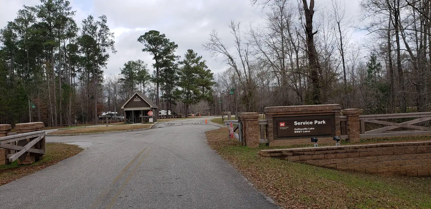
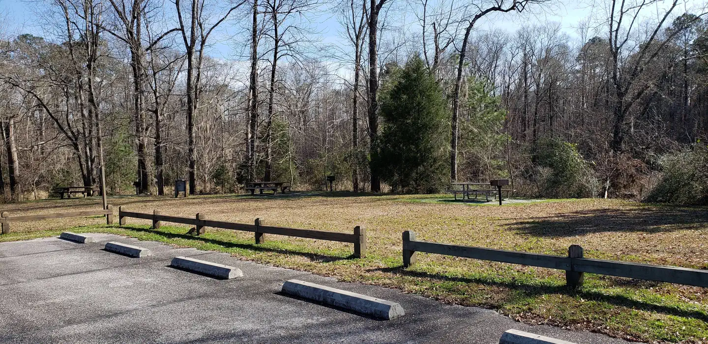
Playground in Day Use Area — VolunteerDay Use Parking Lot — VolunteerSunrise on the Tombigbee — VolunteerWildlife in Service Park — VolunteerMemorial for Our Fallen Game Warden — VolunteerSmall Alligator — VolunteerService Park Trail Head — VolunteerPlayground — VolunteerPark Entrance — USACEBathhouse — VolunteerPicnic Area in Day Use Area — VolunteerSERVICE — USACE
How to Get There
From Coffeeville, Alabama, drive about four miles west on U.S. Highway 84 and follow the signs to campground entrance. Park is located at mile marker 20 on Highway 84.
Download your route in advance via Gaia, Caltopo, or OSM-based apps.
🛍
Dry bags for electronics
Phone, camera, and snacks should stay dry.
Recommendations adapt to the current forecast + trail stats. Use them as a starting point — local conditions, your experience, and the time of day you start all matter.
Plan Your Visit to SERVICE
Heading to SERVICE? A few things to know before you go:
Reservations: popular sites fill up fast — check Recreation.gov 6 months in advance
Fees: day-use and camping fees vary; check current rates on the official park page
Trash & pack-out: follow Leave No Trace principles
Wildlife: store food in bear boxes where provided; never feed wildlife
Weather: the 5-day forecast above is updated every 6 hours; verify just before you go
Frequently Asked Questions
Do I need a reservation for SERVICE?
No central reservation system listed for SERVICE. Check the official page (https://www.recreation.gov/camping/campgrounds/232701) for the latest entry policy and availability.
How many campsites are at SERVICE?
SERVICE has 32 campsites. Site amenities (hookups, vehicle limits, ADA access) vary — see the individual campsite pages for details.
How do I get to SERVICE?
From Coffeeville, Alabama, drive about four miles west on U.S. Highway 84 and follow the signs to campground entrance. Park is located at mile marker 20 on Highway 84.