Peterson, Alabama · Tuscaloosa County · Campground
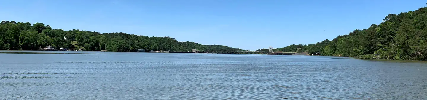
Overview Deerlick Creek Campground is located on Holt Lake on the Black Warrior-Tombigbee Waterway northeast of Tuscaloosa, Alabama. The facility is in a beautiful forest along the shoreline, providing campers and day-use visitors with access to water sports, boating, fishing, swimming, hiking and biking.Recreation Cam…
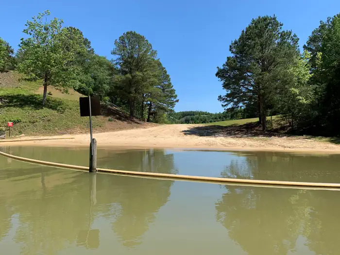
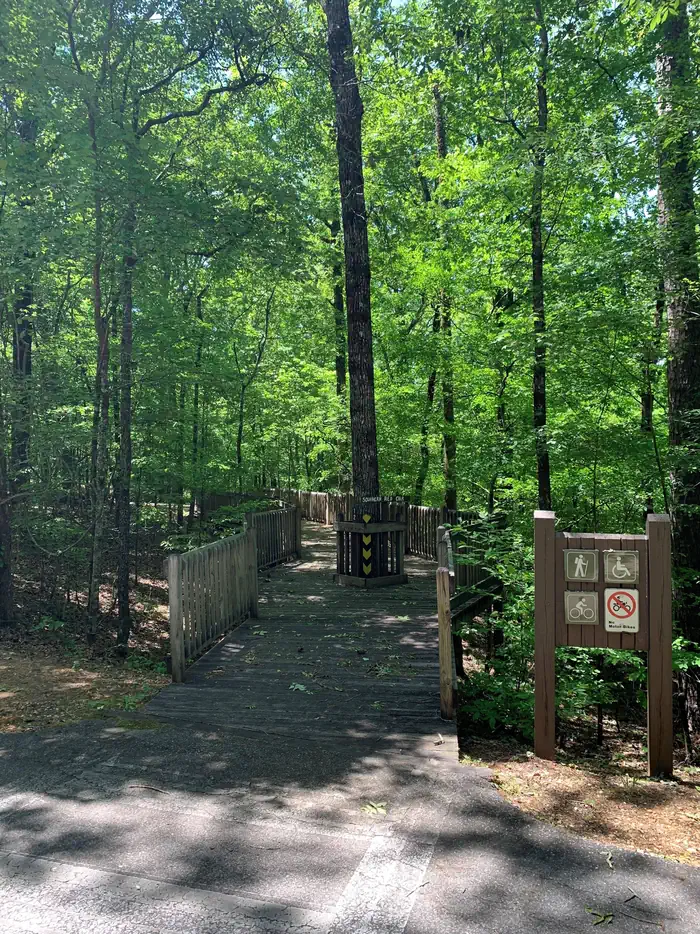
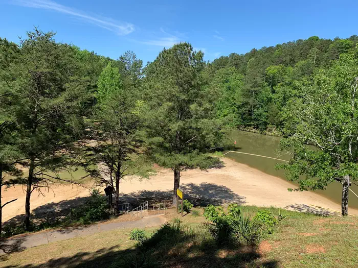
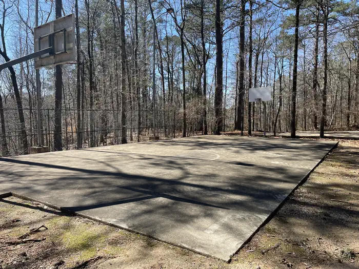
Overview Deerlick Creek Campground is located on Holt Lake on the Black Warrior-Tombigbee Waterway northeast of Tuscaloosa, Alabama. The facility is in a beautiful forest along the shoreline, providing campers and day-use visitors with access to water sports, boating, fishing, swimming, hiking and biking.Recreation Campers can explore the lakeshore using the campground's hiking trails as well as a paved bicycle trail. The waterway is popular for fishing for bass, crappie, bream, catfish and more. Facilities Deerlick Creek has 46 campsites with water and electric hookups, six of which are designated tent only. There is also one group picnic shelter that can be reserved for day use. Families with children have the convenience of showers, a multi-use court and swimming beach.Natural Features Holt Lake was created by the damming of the Black Warrior River. The campground is situated amidst a mixed pine and hardwood forest, which displays colorful foliage along the riverbanks each fall. Deer, squirrel, wild turkey, migratory birds and blue birds, all live in the Holt Lake area. The Black Warrior-Tombigbee Waterway consists of six lakes with a total length of 457 miles and 39,800 surface acres of water. Temperatures range from the 80s to 90s from April through September, and annual rainfall averages about 60 inches. Nearby Attractions Deerlick Creek is 17 miles from the University of Alabama where you can find sporting events, museums, and other attractions. Deerlick Creek is also located 13 miles from Ol' Colony Golf Course home to the University of Alabama golf teams as well as a disc golf course. Contact Info For facility specific information, please call (205) 388-1111.
Photos
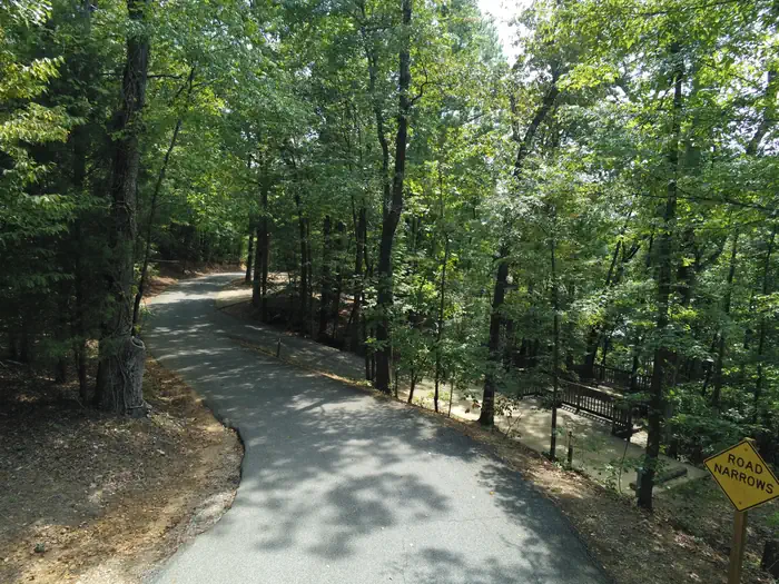
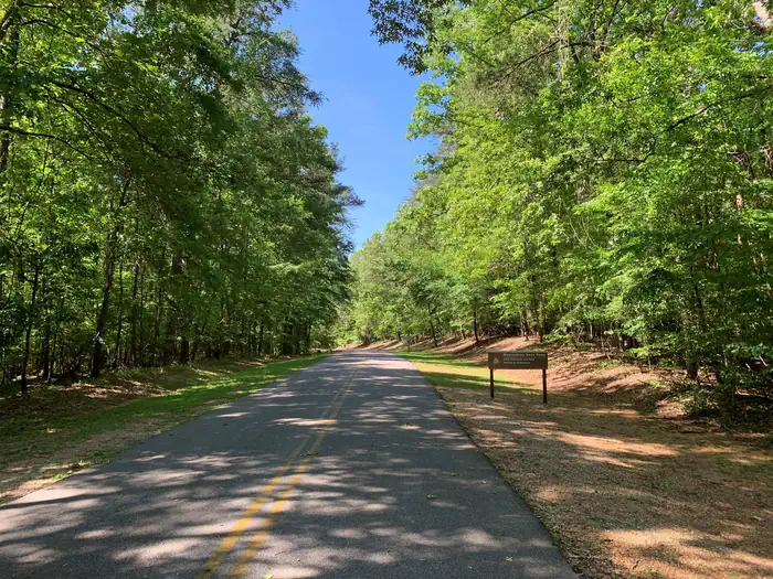
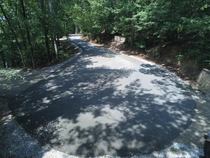
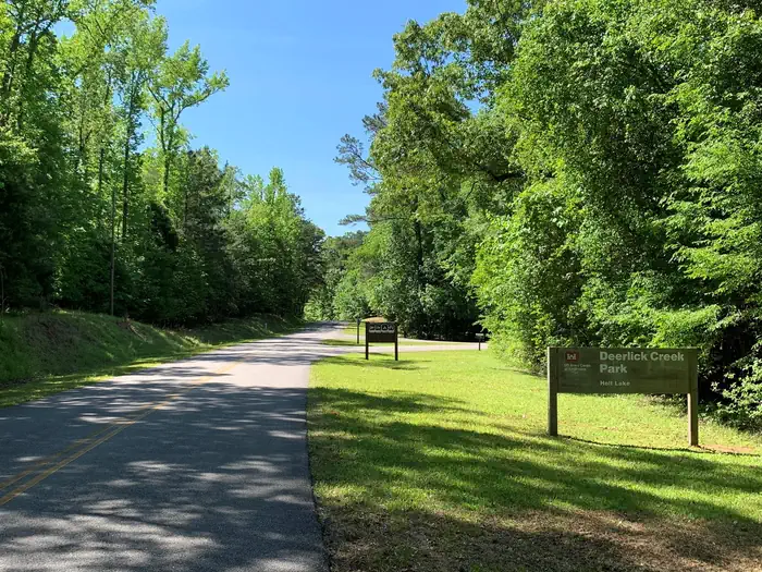
DEERLICK CREEK — USACEDeerlick Beach Aerial View — USACEDeerlick Creek Campground — USACEDeerlick Creek Beach — USACEDeerlick Narrow Road Leading to sites #36-40 — USACEHiking Trail — USACEDeerlick Creek Campground Fishing Pier — USACEDeerlick Beach Upper View — USACECampground entrance into the park — USACEDeerlick Creek Tight Turnaround at site #39 and #40 — USACEDeerlick Creek Basketball Court — USACECampground entrance — USACE
How to Get There
From I-59 in Alabama, take Exit 73 (MacFarland Boulevard). Go west on MacFarland Blvd./Highway 82 for approximately 4.2 miles. Veer right onto Rice Mine Road. At the stoplight turn left onto Rice Mine Rd. Then, turn right at the stoplight onto New Watermelon Road and follow it for 3.4 miles. Turn right at the stop sign onto Lake Nicol Road, and follow Lake Nicol Rd. for 3.4 miles to Deerlick Road. Turn right onto Deerlick Rd. for approximately 3.2 miles to Deerlick Park.
Download your route in advance via Gaia, Caltopo, or OSM-based apps.
🛍
Dry bags for electronics
Phone, camera, and snacks should stay dry.
Recommendations adapt to the current forecast + trail stats. Use them as a starting point — local conditions, your experience, and the time of day you start all matter.
Plan Your Visit to DEERLICK CREEK
Heading to DEERLICK CREEK? A few things to know before you go:
Reservations: popular sites fill up fast — check Recreation.gov 6 months in advance
Fees: day-use and camping fees vary; check current rates on the official park page
Trash & pack-out: follow Leave No Trace principles
Wildlife: store food in bear boxes where provided; never feed wildlife
Weather: the 5-day forecast above is updated every 6 hours; verify just before you go
Frequently Asked Questions
Do I need a reservation for DEERLICK CREEK?
No central reservation system listed for DEERLICK CREEK. Check the official page (https://www.recreation.gov/camping/campgrounds/232571) for the latest entry policy and availability.
How do I get to DEERLICK CREEK?
From I-59 in Alabama, take Exit 73 (MacFarland Boulevard). Go west on MacFarland Blvd./Highway 82 for approximately 4.2 miles. Veer right onto Rice Mine Road. At the stoplight turn left onto Rice Mine Rd. Then, turn right at the stoplight onto New Watermelon Road and follow it for 3.4 miles. Turn right at the stop sign onto Lake Nicol Road, and follow Lake Nicol Rd. for 3.4 miles to Deerlick Road.…